Thursday, October 20, 2022

Fairview Canyon--Cottonwood Ridge


We picked the perfect weather and timing for this short, easy ride. We rode it on October 20, 2022. It includes expansive vistas on all sides of mountains and valleys.  Apparently, our ride was just days after sheep and cattle left and before the deer hunters arrived.  Not another person or vehicle.  We had it all to ourselves.  There were some empty camp trailers. 

To get there, go up Fairview Canyon.  Google directions to "Cottonwood Ridge."  Turn into the Skyline Drive Parking area and proceed up Skyline Dr. about a mile until the sign shows up.  There is parking at the pullout there.  
We parked a little closer to the gate/cattle guard.

View of the gate and roadway with the cattle guard.  We had to open the fence gate to get the horses through.  An option is to drive over the cattle guard and park anywhere after that.


Track for the day:  4.6 miles round trip. About 700 feet elevation gain.
 Trail is mostly a well defined two track with options to ride around through the trees.  90% dirt, 10% slightly rocky.  We turned back when the trail got REALLY rocky as we approached Pine Crown Peak.


This is an interesting geological formation we call "The Wall."  Made of solidified
 mud from the "Great Flood".  You can even spot fossils if you look closely.


On "top" we found some lovely evergreen forest.


Lots of aspen, some still with color.


Looking  towards Skyline Drive


View of Pine Crown Peak

Thursday, August 4, 2022

Ephraim Canyon~~White Pine

A short, but nice trail a little further up Ephraim Canyon.  Probably best in July through September.  We rode on August 4 and there were still a few wildflowers left.  This IS a biking trail that is probably used quite a bit on the weekends.  We were there on a weekday and didn't see anyone else but a woman hiking with two dogs at the intersection of FS road and the trail.  I like the deep forest of evergreen and aspen.  I like the small water feature that provides enough for the animals thirst.  I like the soft, dirt trail and the peace and quiet. I do like the nice place to park, even though it catches the dust from passing vehicles. I don't like the washboard, dusty road for 1.2 miles.


The yellow arrow shows a turn out for parking.  Enough room for a couple of rigs.  Another option to park is the pink arrow with a clearing and dispersed camping area.  To reach this pullout, go past the turnoff to Lake Hill. (the paved road stops). Drive about 1.2 miles further.  It is about 1/4 mile past the hairpin turn.  If you reach the Great Basin Station, you have gone too far.  The photo below shows the pullout parking area.


 We weren't too sure about the access road, but it looks do-able with a trailer.  This is shown in the photo below.  It is steeper than it appears.  The photo is an optical illusion.  The road actually goes downhill.


This is a third parking option.  Not pointed out on the map, but easily seen from the pullout parking.


Our track for the day, August 4, 2022.  About 4.7 miles total. My GPS was being "crazy", but it shows the general track.  The side trek to the left was a "wrong" turn.  When the two track gets to a "Y" intersection keep to the right.  Follow the bike tracks, not the two track.  We ventured on the " wrong trail" encountering multiple log falls and eventually we could go no further, so we turned back to find the "right" trail. In looking at the map I realized we had gone on the wrong side of the meadow and pond.  The elevation is around 8,300' to 8,800'.  Trail conditions= 95% dirt, 5% slightly gravelly or rocky.

Our track on August 9, 2022.  2.6 miles. We explored the short dirt road that went to Cottonwood Creek and saw the beginning of the Pioneer Trail.  We cut the ride short and did not go down the Pioneer


The two track going through what looks like a popular dispersed camping area.

If you reach this across the trail, you are on the WRONG one.

This shows a portion of the small streamlet.  It is only 6 to 12 inches wide, but the water is clear.


Once we got on the correct trail it was smooth riding.  It is 98% downhill with quite a grade, but not too bad.  It provided a fun ride back up and gave the horses a great workout.


Looking at the old pipeline aquaduct that goes over Cottonwood Creek.


The dirt road back from Cottonwood Creek.

This is where we turned back on August 4.  It is at the confluence of the White Pine and Pioneer Trails and FS road 1105.   

Little streamlet.


This is almost back to the trailer.


Thursday, June 23, 2022

Ephraim Canyon~~Ponderosa/Stop Watch

 Please refer to the posts on the Scandinavian and Patriot Trails for parking and more information.  All of this section of Ephraim Canyon trails are near or branch off from the others.  There are 7 different posts on this area.


A good map resource:  https://www.google.com/maps/d/u/0/viewer?mid=1p3r3Yz3gtqybACufeLvwVtiQCaL9bIBg&shorturl=1&ll=39.33094206778154%2C-111.49722740998462&z=15


https://www.trailforks.com/trails/stopwatch-trail/

This new sign at the Willow Creek Trailhead calls the upper portion "Stop Watch"

  
Here is our track for September 28, 2020.  5.77 miles, out and back.  Elevation change=7,920' to 6, 847'.  Trail condition= 95% soft dirt, 5% gravelly dirt.


Arrows showing two different parking areas.


This is a photo of the YELLOW arrowed parking area on Sept. 28, 2020. There is plenty of cleared space there for quite a few rigs. No one there on a Monday morning.  Notice the equipment still parked there from clearing the area. It is about 3.5 miles from the "New Canyon" road turn off.  I will call it the Willow Creek Road trailhead because it is at the head of that road. 

Here is another photo of the Willow Creek Trailhead, taken May 26, 2021.


This is LAVENDER arrowed Parking area.  It is 2.4 miles from the "New Canyon" intersection and about 5 miles from downtown Ephraim. Paved and room for about 2-3 rigs.  A very nice place to park.  I will call it Ponderosa Trailhead or Pull Out. (not to be confused with the one on the Mt. Nebo Loop.)  


View of the trail from the pull out area.

Livestock Trough about 100 yards from the Ponderosa TH. Photo taken July 1, 2021.  It had water in it, but our horses wouldn't go near it.  Looked too weird, I guess.


  The Ponderosa trail ("Gravity" portion) "ends" (or starts depending on which direction you're riding.) here.   About 100 yards back down this road is a parking area, which is newly paved and has a lot of room for parking and a rest room.  The catch is....have to ride on the road (or on the gravelly side) to get to the trail. But, it is one option and might be the best when there is snow on the upper trails.

A view of the "Gravity" Parking area.
Riding from the parking area to the beginning of the Gravity trail


Heading back up.  This is the "Gravity" portion.

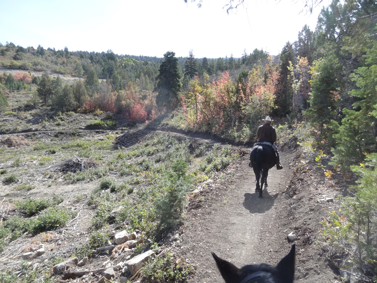
The following photos are from the entire ride, mostly of the Stop Watch section.  Enjoy....  

 Stop Watch Trail, Sept. 28, 2020

Stop Watch Trail, Oct 21, 2020


 Stop Watch Trail, Sept. 28, 2020

Gravity Trail, Sept. 28, 2020


Ponderosa Trail, Sept. 28, 2020


Stop Watch Trail

 Here is a link to the website that helped me find the trail system: https://www.trailforks.com/trails/ponderosa-trail-324786/


This is on the Stop Watch trail.  Trail maintenance has dug some erosion control and berm on a small spring.  This will avoid the muddy run off onto the trail.

Stop Watch trail on June 11, 2021

Stop Watch trail on June 11, 2021

Stop Watch trail on June 11, 2021


Ponderosa Trail, Oct. 7, 2022

Ponderosa Trail, Oct. 7, 2022