I like this trail because it has a water feature. (which is lacking in Green or Dry Canyon). And even on a holiday, the trailhead was virtually empty. Not nearly as busy as Green Canyon. This trail climbs a narrow canyon east of Providence (a few miles south of Logan). Out-and-back, the ride is 6.0 miles with 1200 vertical feet of climbing.The trail starts at the mouth of Providence Canyon at 5100 feet elevation. Just after Spring Creek Road turns to gravel, there's a parking spot on your left. The trail heading northwest is the Deer Fence Trail which contours the hillside northbound. Your Providence Canyon ride starts by heading up the gravel road. just 800 feet (0.15 miles) up the dirt road, watch for a path leading to a wooden bridge on your right. It's hidden by the roadside maples, so it's easy to miss if you're talking. Go across the creek to the singletrack on the other side.
(Click on one of the photos to open a slide show of enlarged images.)
 |
| Looking for the trail. |
 |
| July 24, 2013, Total Distance: 6.13 miles; Maximum altitude 6,193 ft; Trail conditions: 80% dirt, 20% rocky |
 |
| There is one gate to be passed through. |
 |
| Bridges to cross |
 |
| Optional creek crossings... |
 |
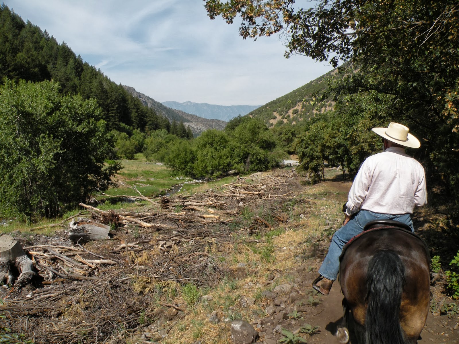
| Looking at the aftermath of the flood a couple of years before. |


No comments:
Post a Comment