 Last week (July 12) when we rode the Spring Creek trail, we saw another trail veering off to the south-west. So, this week (July 18) we decided to ride it and see where it went and the trail condition.
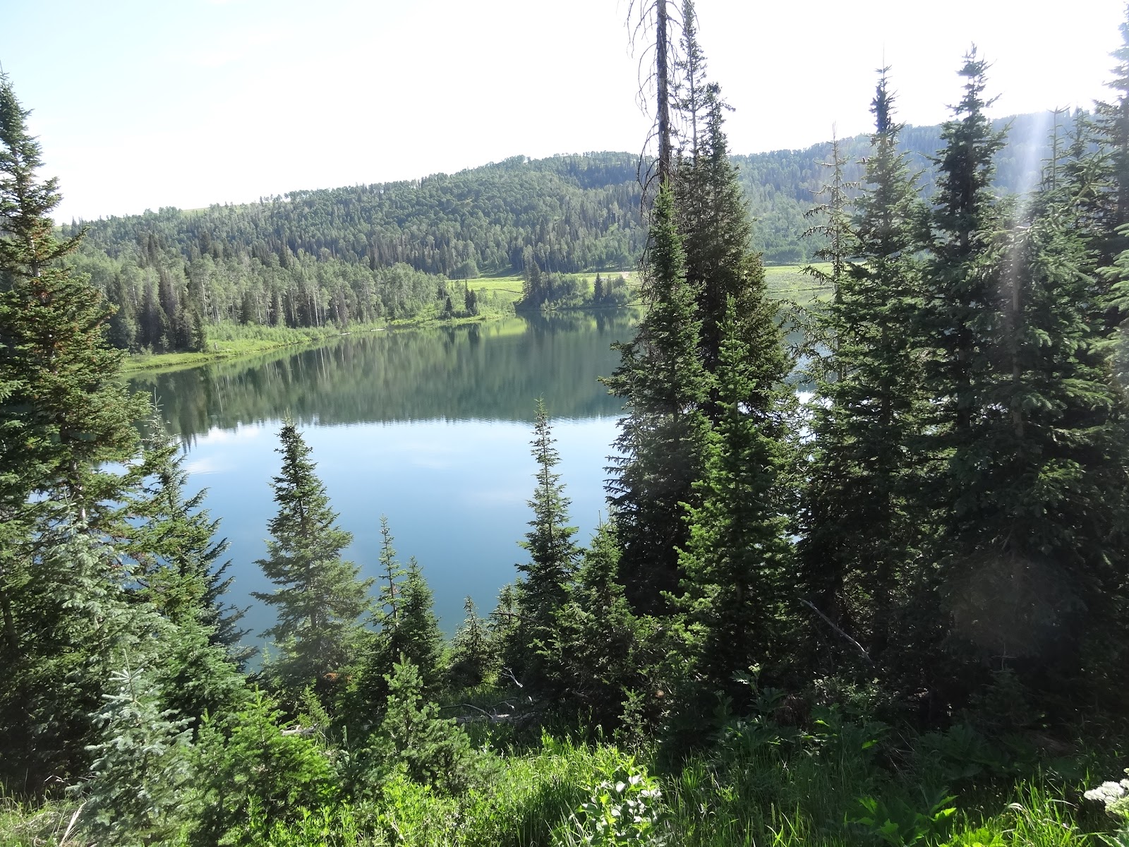
Wow, a new sign! A new trail. I believe we were one of the first to ride it. No bike or horse tracks. Just mostly soft dirt. What a fabulous trail! Enough so, it needed its own post. Aspens, evergreens, meadows, wildflowers galore, tiny stream crossings and wonderful views of the Huntington Lake/Reservoir.
There is also a parking option to park at the Mammoth site at the bottom of the reservoir. But, I would not recommend it--not much room for a trailer and riding across the dam is required. There is a really "dicey" portion on the spillway which would be difficult for horses. So far, we definitely prefer the Snowkite parking option.

We ran into a crew of Snow College students working for the forest service clearing the trail. Be sure and check out the Spring Creek post for access information. Love these trails! No noise, no dust, no sheep, no cattle, no logging, no gates. (Update as of July 25, 2024. We rode to the end at the dam. That last mile is worth doing once, but it will be awhile before we venture that far down. It is much more "open". Nice views of the water, but it has a different "energy" because of more use--including people's trash. It adds 2 more miles to the round trip making it 8.8 miles. We also checked out the beginning of the Towhead trail. It had been overrun with sheep and didn't look that promising--a few aspens, but mostly open. I think we'll pass on that one.)
 |
New trail sign put it in within the last week. 1.9 miles from the Snowkite parking
|
 |
July 18, 2024
|
 |
| July 25, 2024 |
 |
| Crossing Spring Creek on the Mammoth Trail. My horse "leaped" over the crossing. |
|
 |
| (Update: As of August 14, there is now a bridge!) |
 |
| Meet up with trail workers at about 3.25 miles in. Another small stream crossing.This is where we turned around. |
 |
Headed back, July 18, 2024
|
 |
| Typical of much of the trail on the south side of the stream crossing. |
 |
| Lower portion, July 25, 2024 |
 |
Lower portion, July 25, 2024
|
 |
At the dam...
|


.JPG)


.JPG)
.JPG)
.JPG)
.JPG)
.JPG)
.JPG)
.JPG)


